The Central City Flood Control Project addresses Fort Worth’s flood risks that are a result of explosive population growth with the city having tripled in size since the current levee system was constructed in the 1960s.


The Central City Flood Control Project has two main components:

Flood Protection Infrastructure

The rerouting of a section of the Trinity River due north of downtown (bypass channel).

LEARN MORELEARN MORE

Riverside Oxbow (Gateway Park)
Flood Water Storage

Modifying a large park on the east side of the city to better manage flood events in a manner that will also restore the area.

LEARN MORELEARN MORE

The combination of these efforts will return flood protection to over 2,400 acres of established Fort Worth neighborhoods including nearly 14,000 residents in 7,200 homes and over 1,000 businesses.

Project Partners

The Central City Flood Control Project is a partnership between federal, state and local partners to bring needed flood protection to Fort Worth. Project partners include Tarrant Regional Water District, City of Fort Worth, Tarrant County, Texas Department of Transportation, U.S Army Corps of Engineers, and Streams & Valleys.

Flood Protection Infrastructure

We can spend millions today to protect the citizens of Fort Worth from catastrophic flooding or spend billions tomorrow in recovery.

The primary purpose of the Central City project is to provide Fort Worth with needed flood protection. The Central City Flood Project is limited to infrastructure needed for flood protection.

By rerouting a section of the Trinity River, the United States Army Corps of Engineers (USACE) will return flood protection to over 2,400 acres of established Fort Worth neighborhoods. The flood protection project is being constructed by USACE along with the Tarrant Regional Water District (TRWD) as the local sponsor.

PROTECTING AT-RISK
NEIGHBORHOODS

Fort Worth has nearly tripled in population since USACE built the current levee system in the early 1960s, having grown from 350,000 to over 920,000. Because of the booming population growth, even as far back as the early 2000s, the USACE had already determined that 86% of Fort Worth’s current levee system is no longer tall enough to protect us from the events expected to hit this area. Over 2,400 acres of established neighborhoods in our city are in jeopardy of flooding.

USACE FLOOD WATER STORAGE

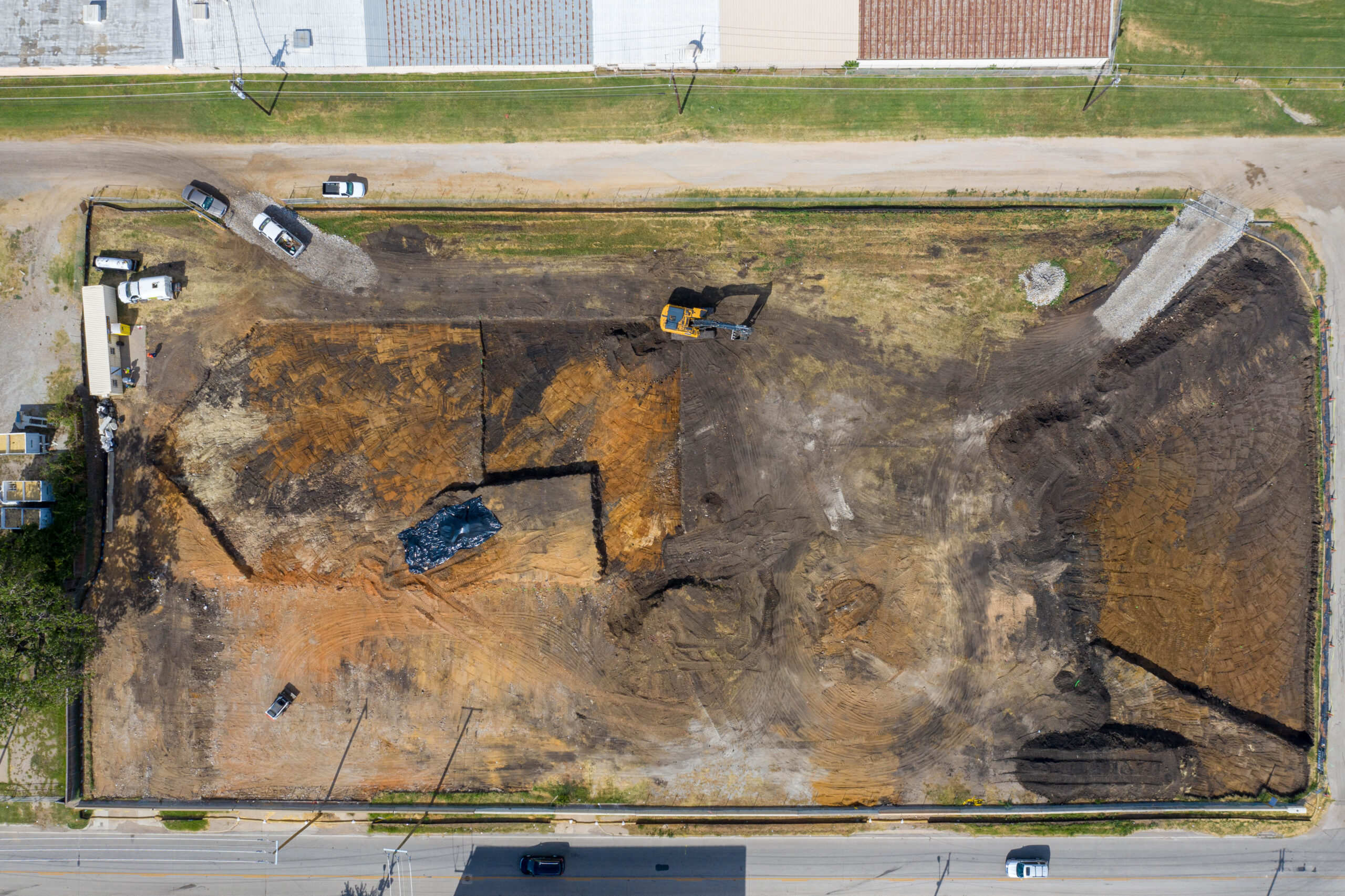
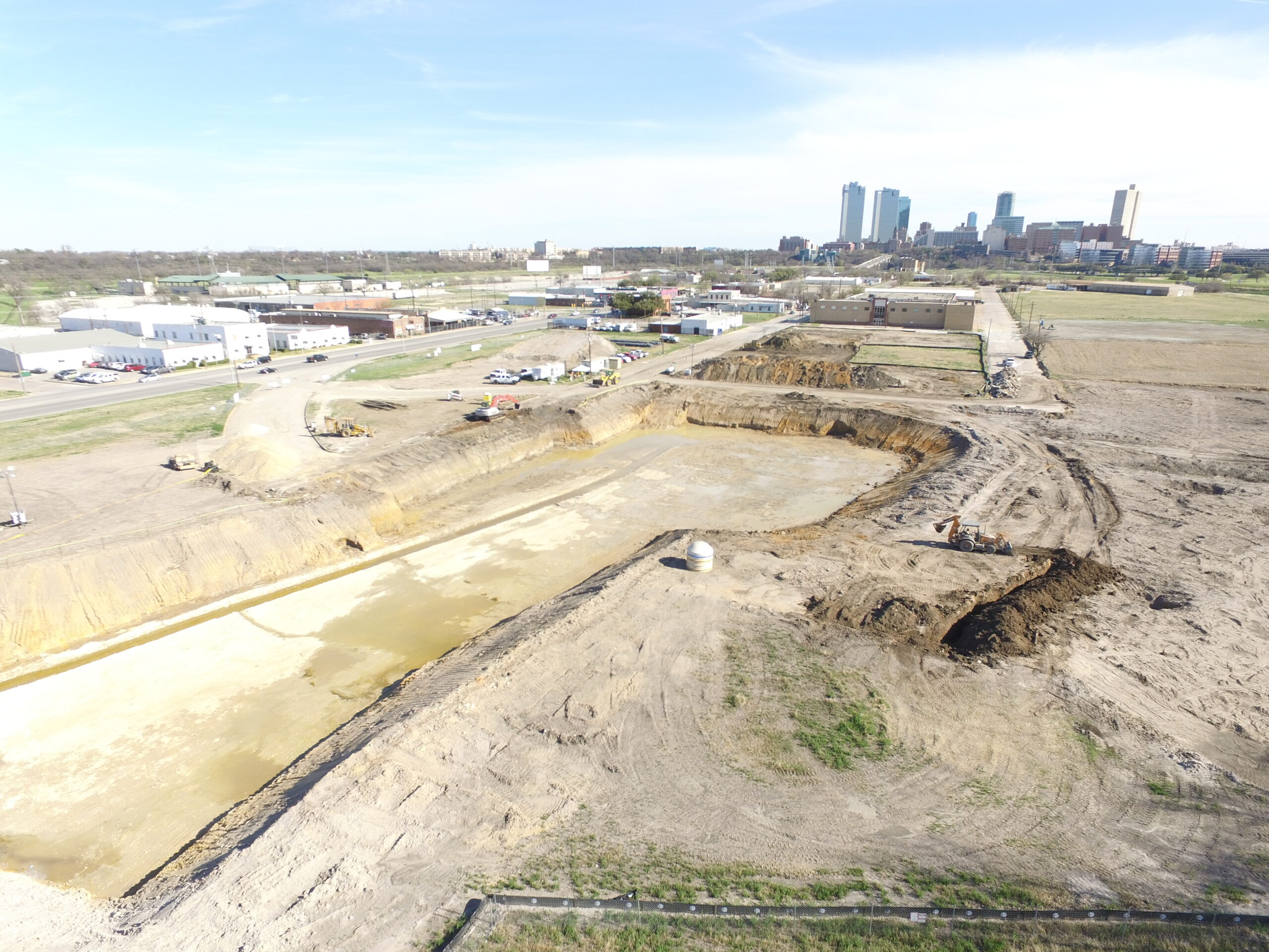
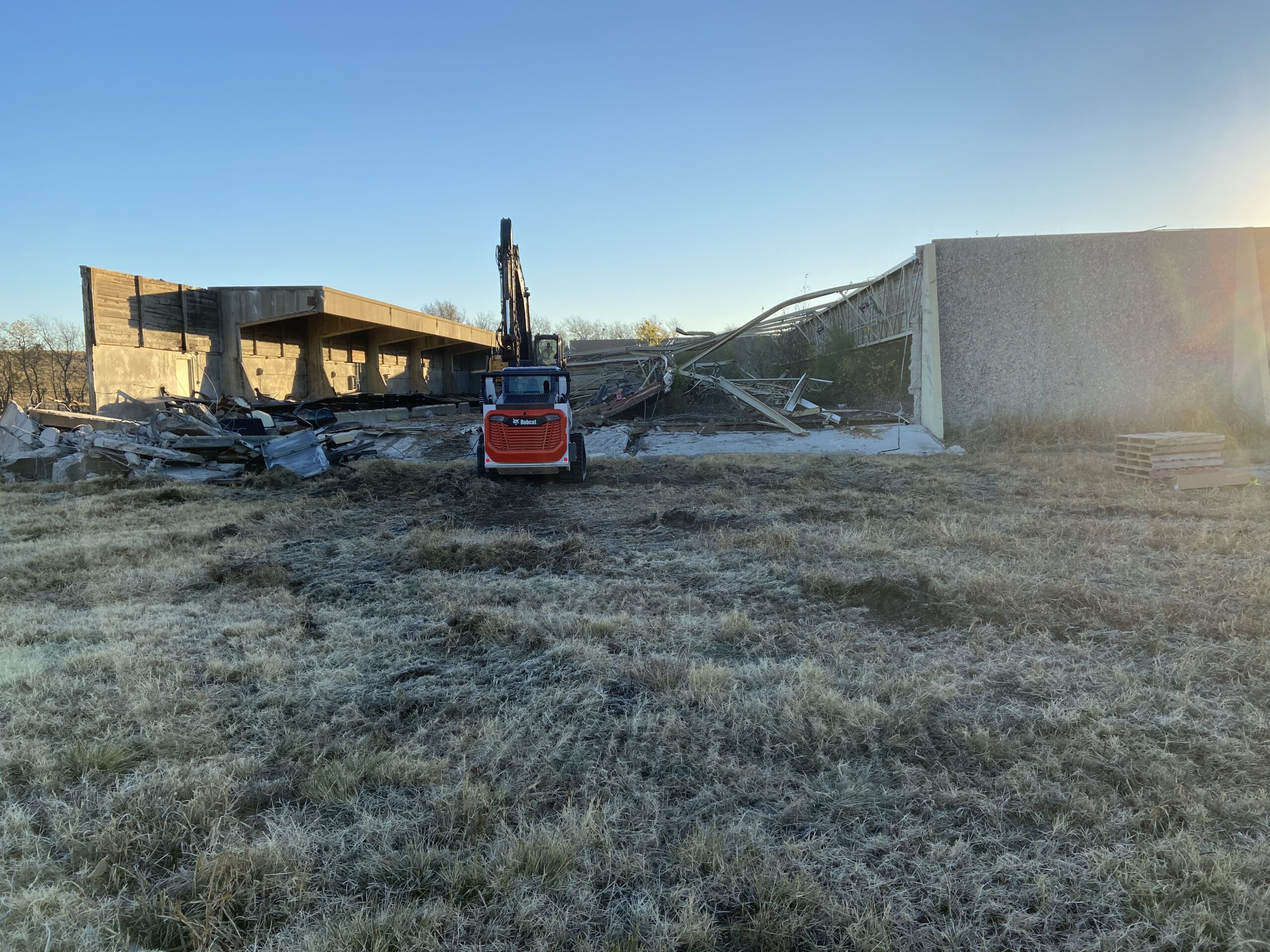
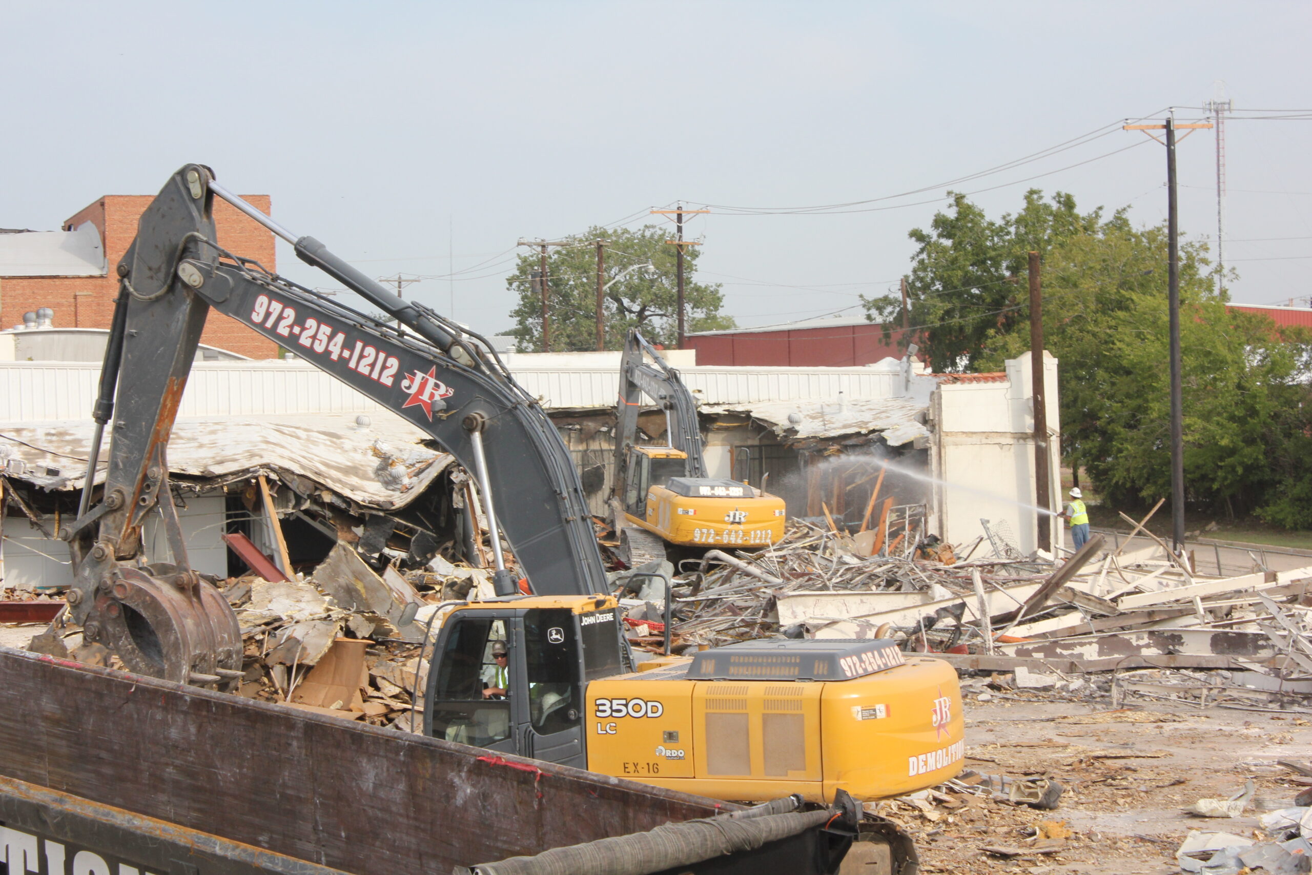
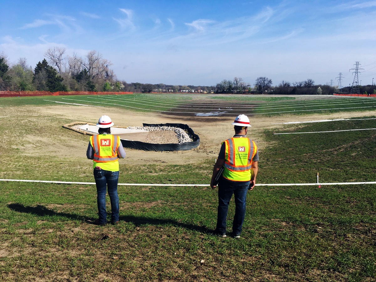
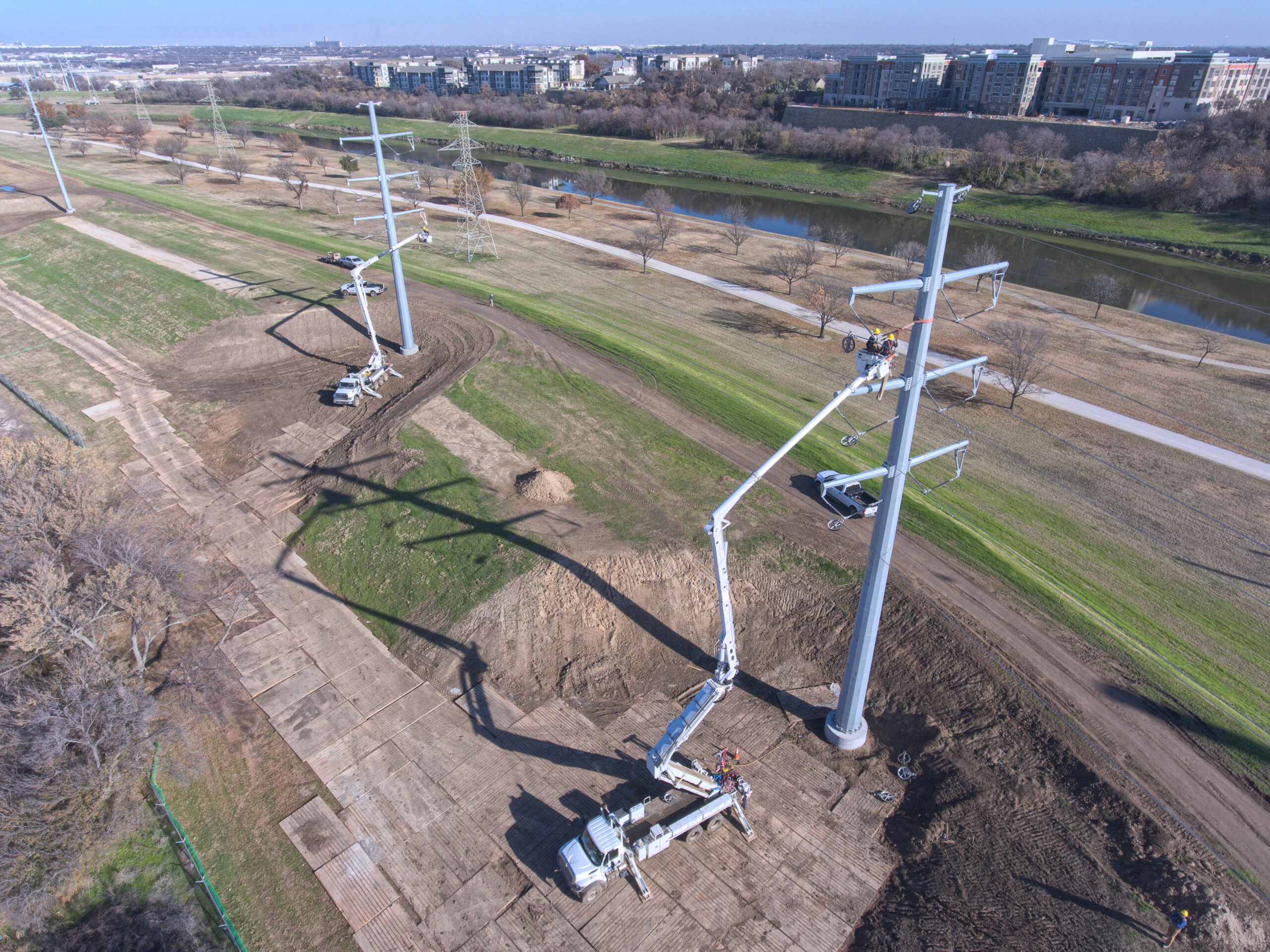
Flood water storage is a critical need for our community right now providing immediate flood relief. With that in mind, USACE has completed four flood water storage construction sites to date, totaling more than $32 million in USACE contracts and the removal of over 2 million square yards of dirt.

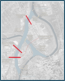
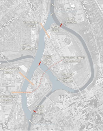
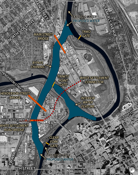
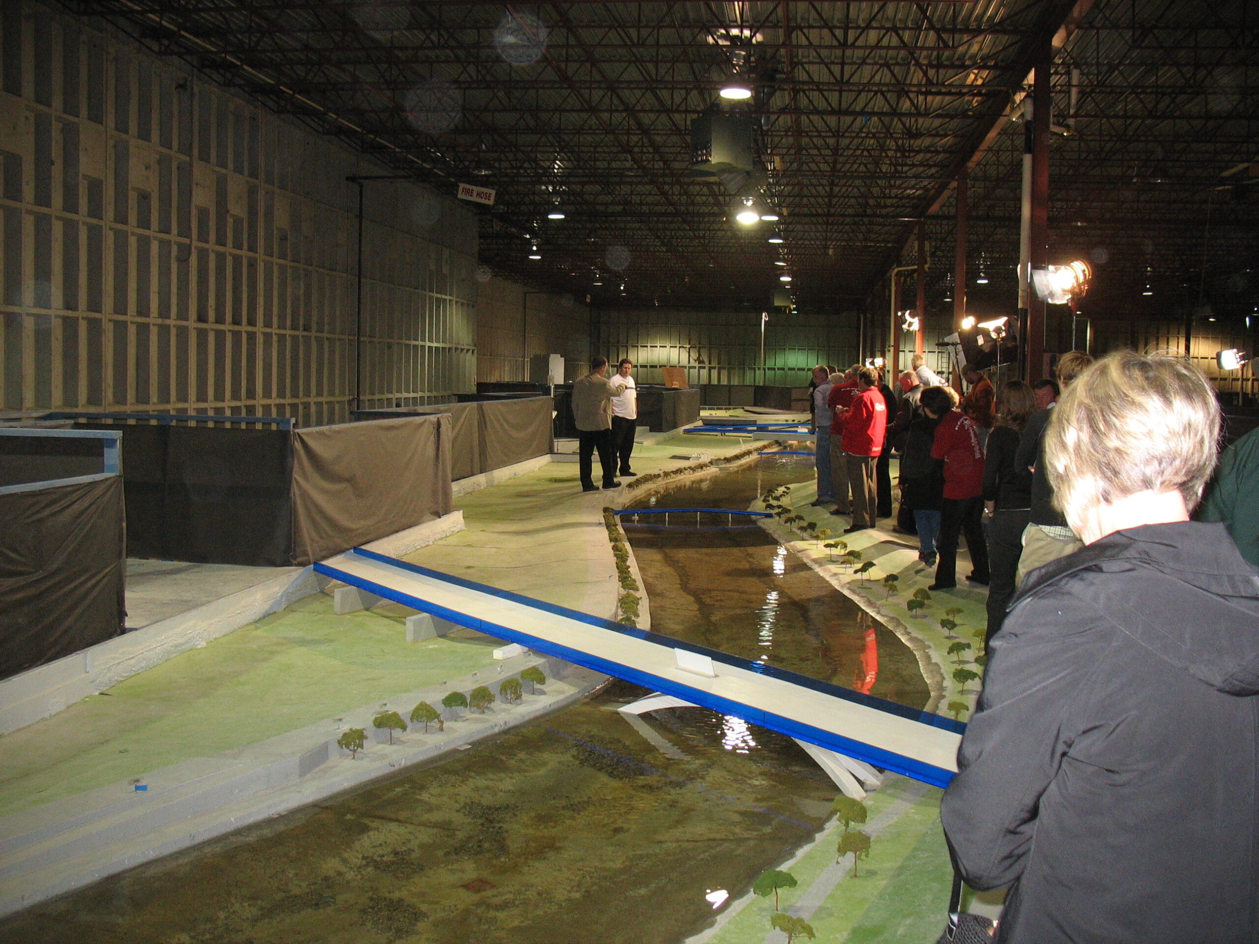
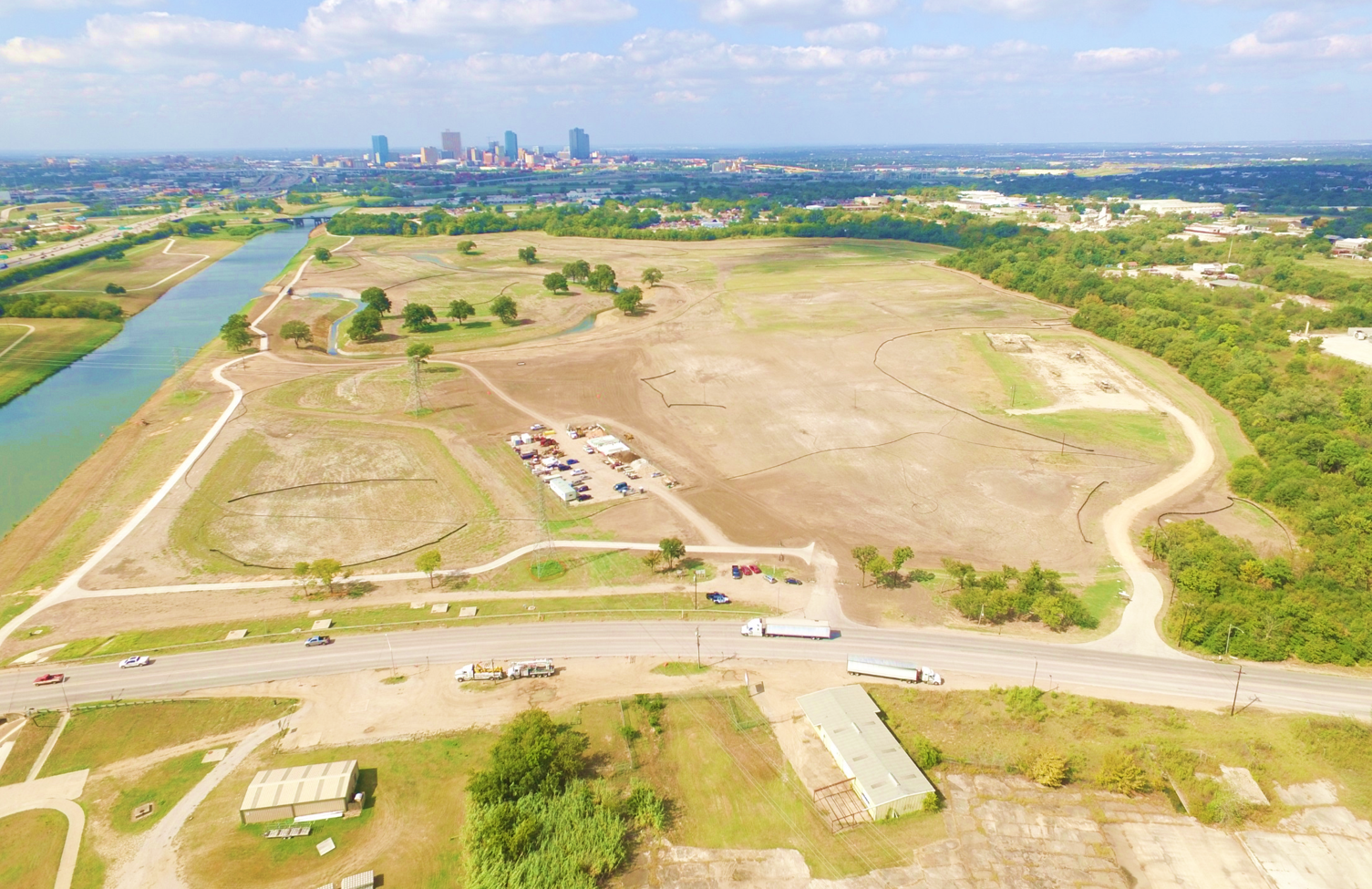
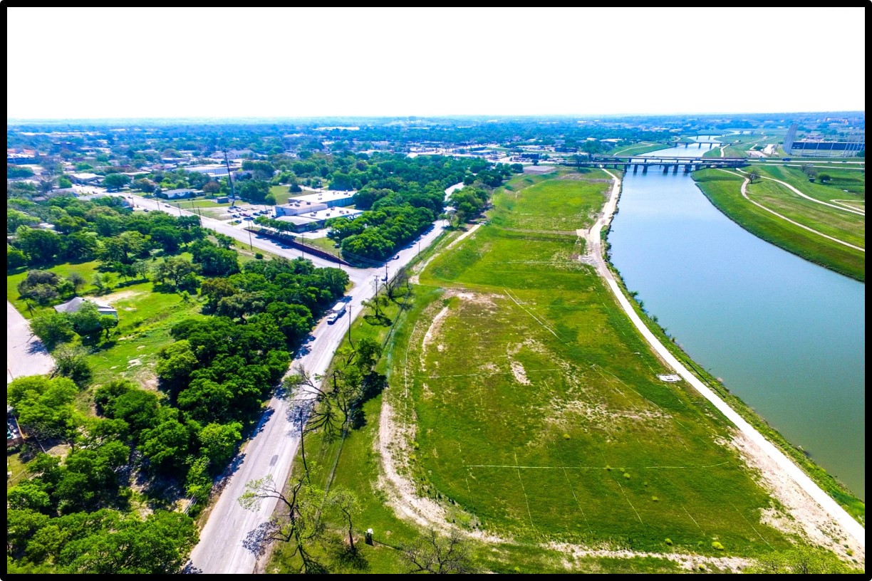
The future bypass channel will protect more than 2,400 acres of neighborhoods in Fort Worth from the highest level of flooding. However, the bypass channel cannot accomplish this alone. In times of flooding, water will be moving through the bypass channel, but there is a need to slow that water down to prevent flooding our neighbors to the east. A series of flood water storage sites are crucial to the Central City Flood Control Project.

The amount of material moved as well as the locations themselves were carefully chosen. These sites provide the needed flood protection along with providing multiple-use opportunities. In many cases USACE will excavate the site (Gateway Park for example) allowing that area to be turned over to the City of Fort Worth to provide wonderful park amenities for our city.

TxDOT V-PIER BRIDGES

Engineering studies showed that building the bridges first, in a dry condition, minimizes traffic impacts and is the most cost effective option. Therefore, USACE required in the Final Environmental Impact Statement that the bridges be built prior to the bypass channel in a baseline condition.

The signature V-Pier bridges that will span the future bypass channel were designed by the City of Fort Worth and were built and managed by TxDOT. The bridges will allow traffic to enter Panther Island from the north and west. The bridges are located at White Settlement Road, Henderson Street and N. Main Street. They have been artfully designed with the pedestrian experience and mass transportation in mind.

USACE BYPASS CHANNEL

A 1.5 mile bypass channel will be constructed to reroute flood waters near the downtown area. Rerouting the existing Clear Fork and West Fork through the bypass channel will create a drawdown effect on the water elevations in the Clear Fork and West Fork.

This will enable water to pass through the current levee system at a quicker pace and lower elevation, which will return flood protection to the community and maintain the effectiveness of the remaining levee system.

USACE ISOLATION GATES

At the portions of the river where the bypass channel and the original river intersect, three isolation gates will be installed. They will be designed and built by USACE and maintained and operated by TRWD.

The gates will protect the interior area from flood flows. These gates will remain open at most times, but can be shut during high water events – which would redirect the water through the bypass channel, literally bypassing that area completely.

USACE STORMWATER PUMP STATION

A stormwater pump station will be constructed on the northeast side of the interior area near the TRWD gate The station will be designed and built by USACE and maintained and operated by TRWD. During major flood events, the isolation gates will be closed and excess water will be moved through the pump station. The station will house four pumps, with one spare pump.

Water pumping stations are machines that can be used to transport water from the interior out to the bypass channel. In situations where large rainfall events happen immediately overhead, these devices can drain the interior and circulate water in treatment systems. They can also circulate water during periods of low rainfall to maintain water quality.

USACE SAMUELS AVENUE DAM

The Samuels Avenue Dam will be located near the confluence of Marine Creek and the West Fork of the Trinity River near Samuels Avenue. The dam will be designed and built by USACE and maintained and operated by TRWD. This will include an in-channel dam to achieve the objective of maintaining water levels in the project interior at a relatively normal water surface elevation. The dam will have mechanical and hydraulic flood capabilities to lower the crest elevation, allowing passage of flood flows.

PROJECT MEDIA GALLERY

Riverside Oxbow – Flood Water Storage    >>

Project Resources & FAQs    >>